East Acton
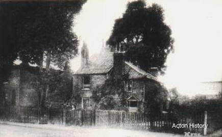
Cottages at
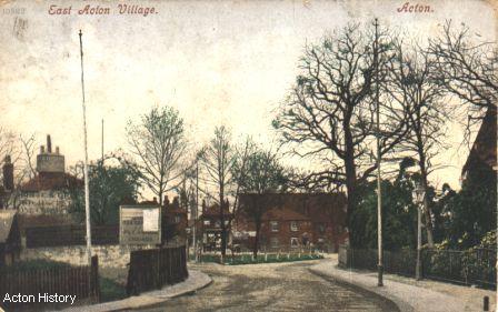
Looking North up
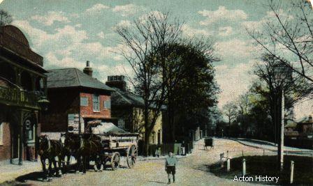
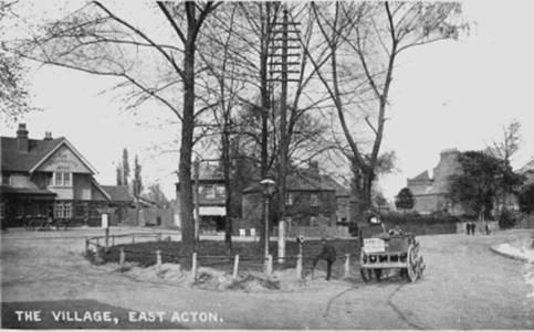
Looking East from outside the (old) Goldsmith’s Arms (to the left). The Gallery of the pub was used to hire agricultural labourers.
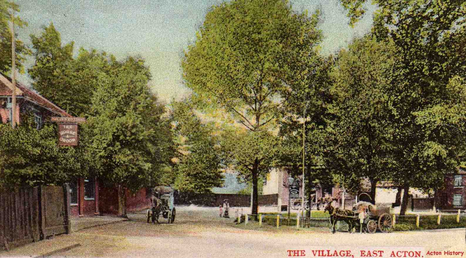
Looking North accross the green to the (old) Goldsmith’s Arms. To the left is the Horse and Groom.
In this view the pub has been rebuilt, but the scene is still recognisable, and the old cottages in the centre are still there.
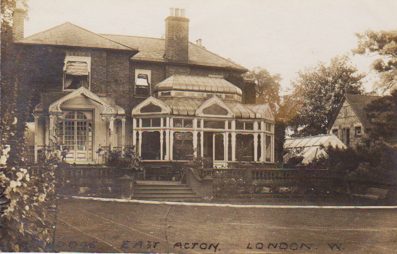
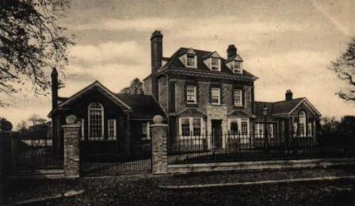
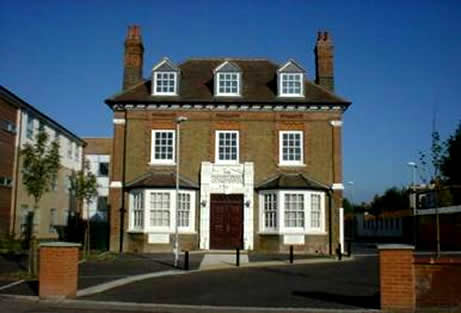
The Lodge, East Acton was in East Acton Lane, close to Bromyard Avenue.
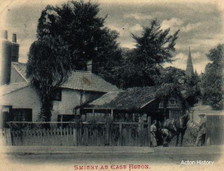
The picturesque forge at
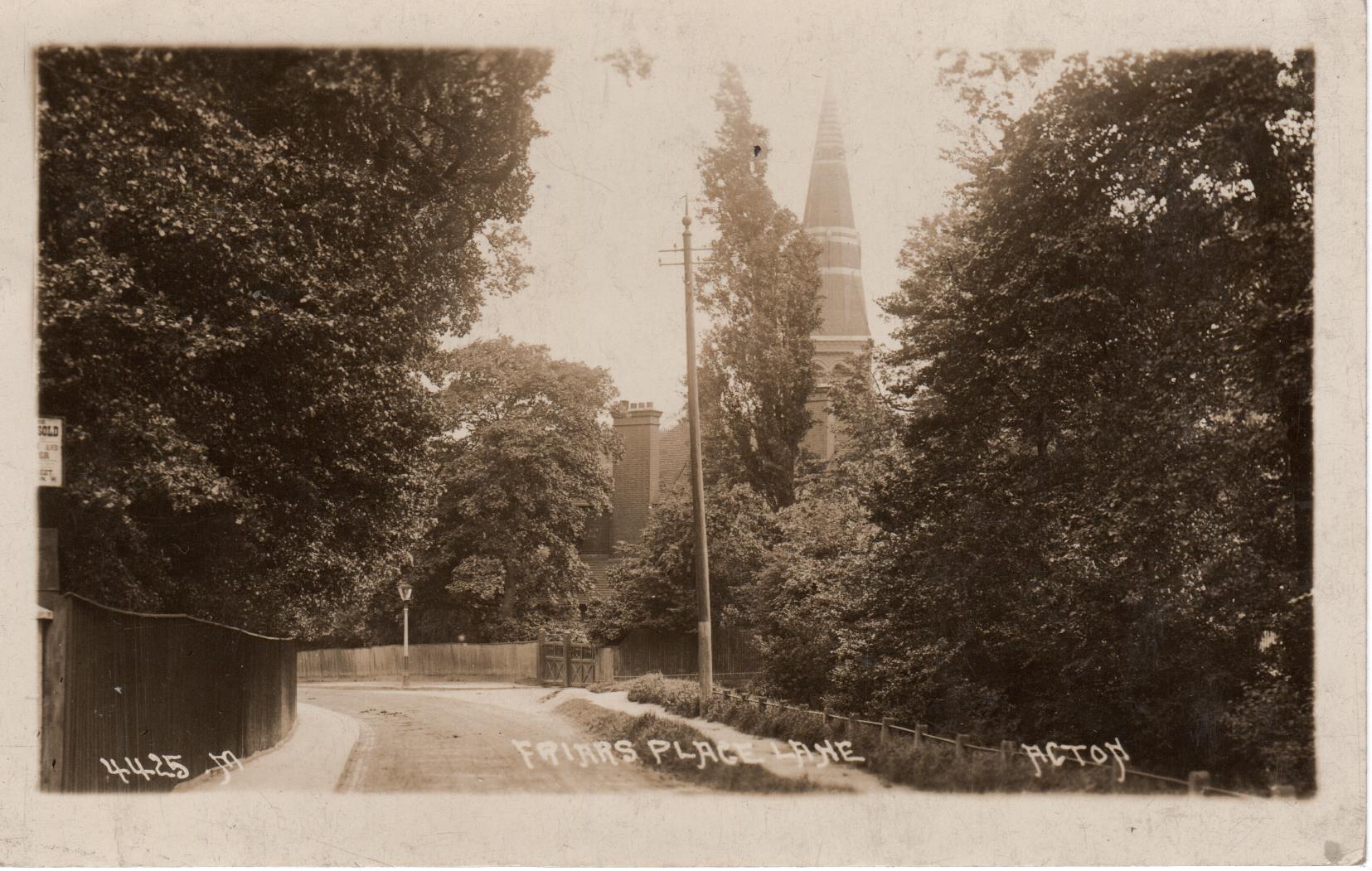
Friars Place Lane East Acton, with the spire of St Dunstan's Church
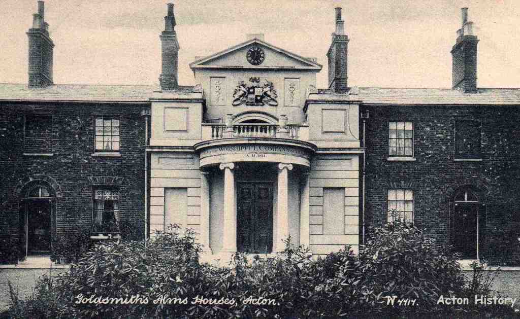
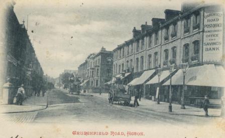
The Goldsmith's Almshouses Churchfield Road East.
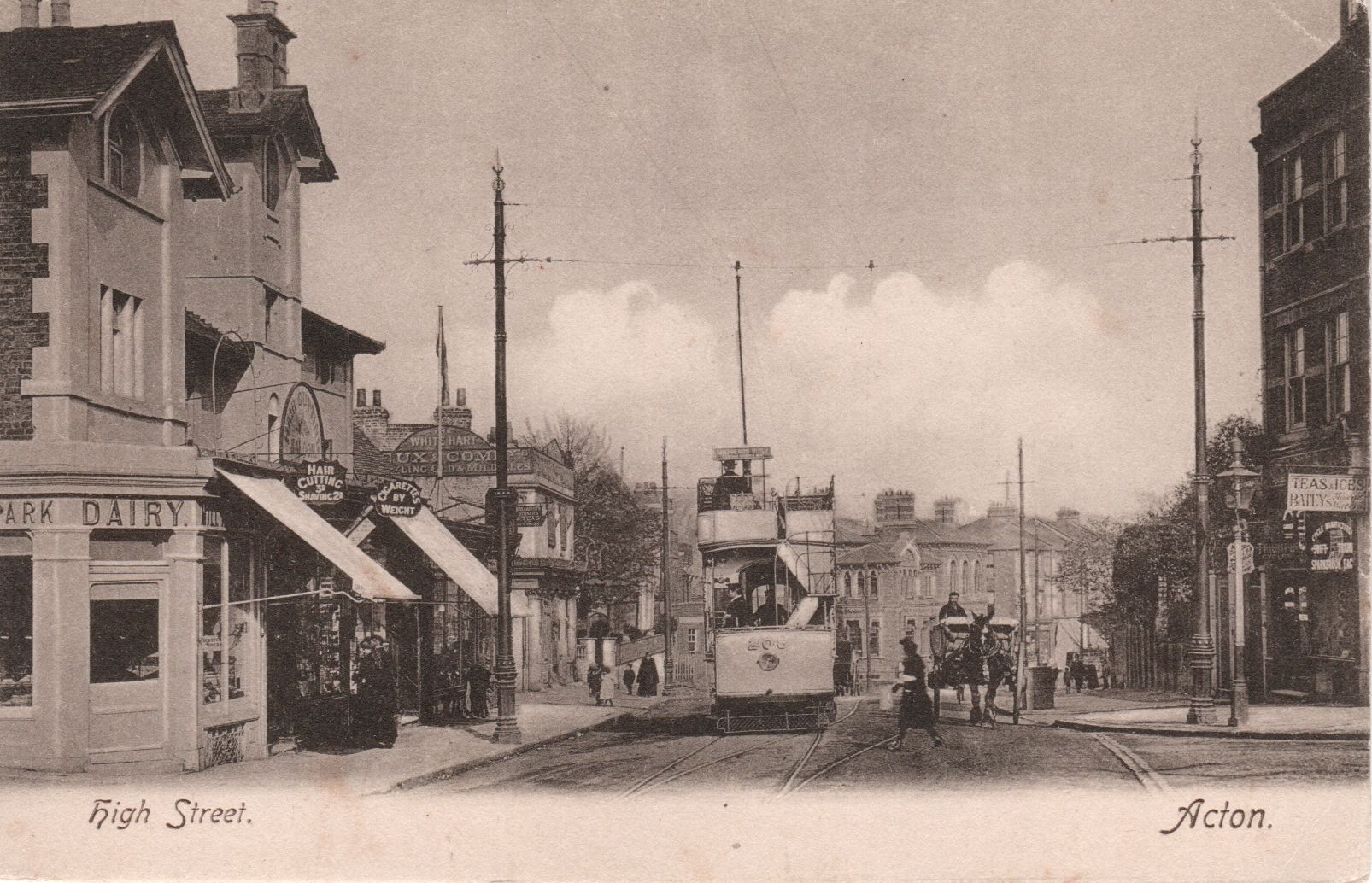
The Centre of Acton
The view down Acton Hill with Belle-vue on the left.
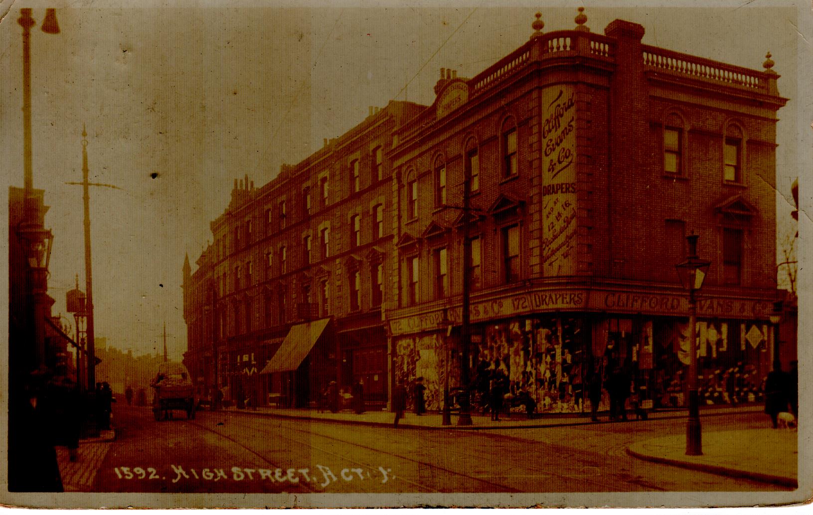
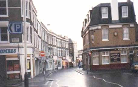
Clifford Evans, High Street - Market place
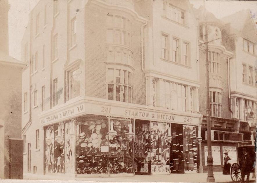
Stanton and Witton High Street Acton (opposite the fire station).
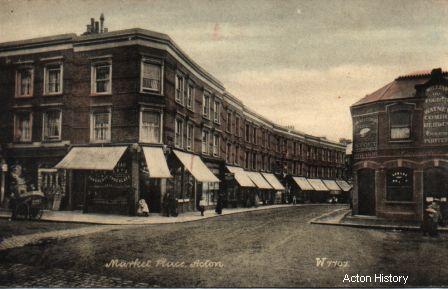
Market Place, about 1910.
Looking south from
An early view of Gunnersbury Lane.
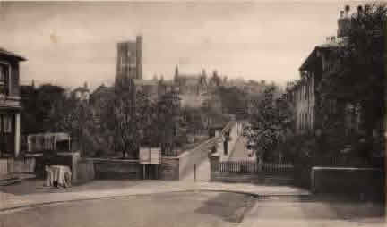
This is said to be the view from Cock and Crown Yard, looking North. It is suggested that this postcard has been printed back to front – the church tower is not symmetrical.
A later view looking up Mill Hill Terrace towards Mill Hill Grove
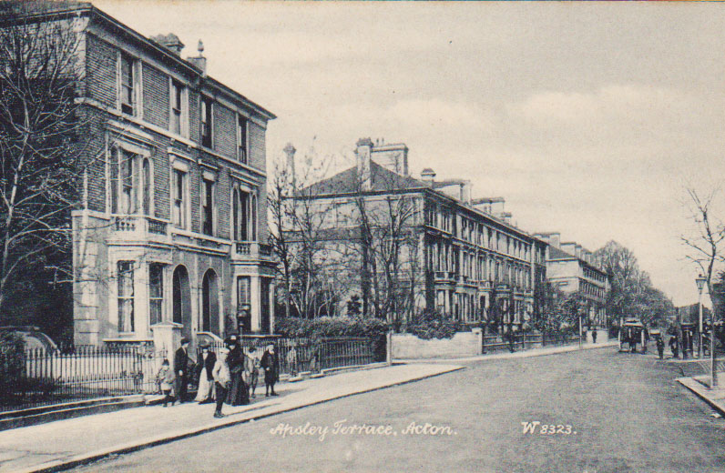
Apsley Terrace in Horn Lane, looking north.
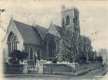
Acton’s Churches
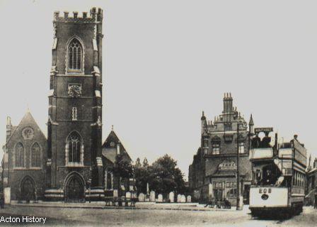
St Mary’s Church with the London and South Western Bank and a tram to Southall.
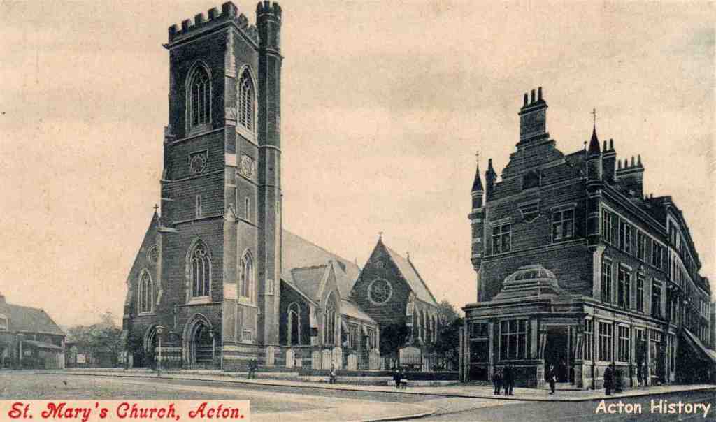
St Mary’s Church with, on the right, the London and South Western Bank and to the left, King Street. The area in front of the Church, formerly dense housing and shops was cleared in the late 1900’s and is laid out as a garden.
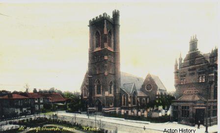
St Mary’s Church with, on the right, the London and South Western Bank.
The church from Churchfield Road, looking South West. (DK)
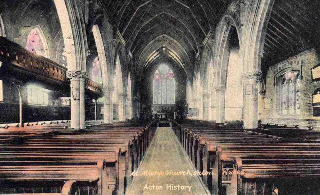
The interior of the St Mary's Church. Note the Gallery on the left (north side) that has now been removed.
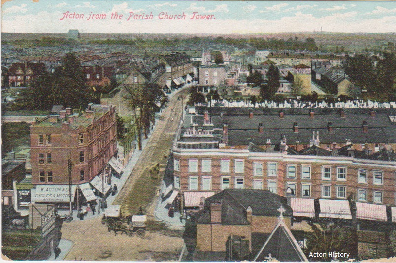
The view from the church tower looking along churchfield Road.
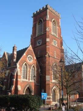
St Mary’s Church in 2006 before the recent redevelopment of the
A church dedicated to St. Mary existed as early as 1231, when Walter, rector of
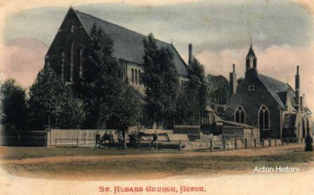
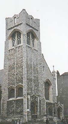
St Alban’s Church, Acton Green built in 1887/78 in Edwardian times, and (below) about 2000.
Wesleyan Church, Acton Hill, now the Acton Hill Methodist Church.
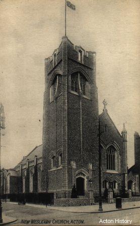
In 1907 this church replaced the earlier chapel, still existing in Gunnersbury Lane. It was built on site of “The Oaks”.
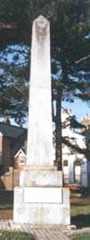
Acton’s parks – Acton Park
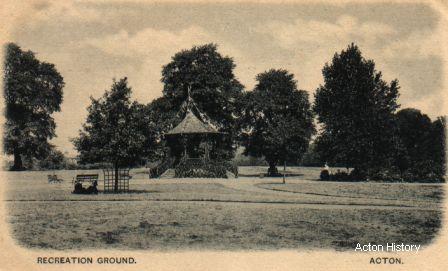
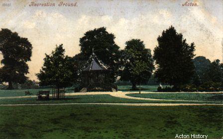
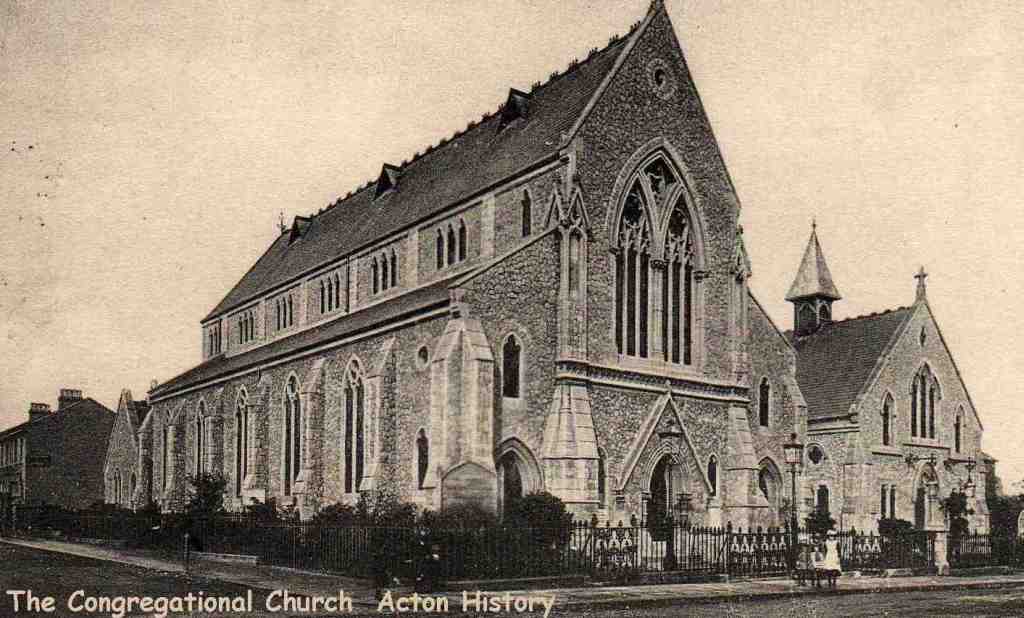
The Goldsmiths' Company had grand plans for the laying out of roads, and the construction of large houses on the land bounded by
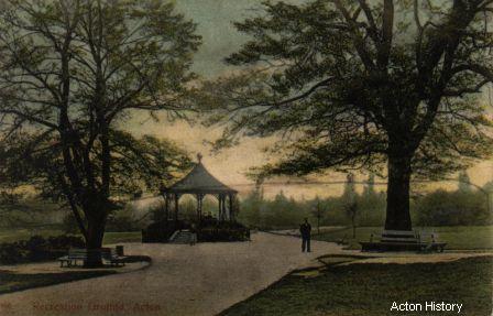
The Bandstand (which can now be located by a circular flower bed) is reputed to be the site of one of a number of windmills – this one being sited just beyond the Church Field – one of the common fields of
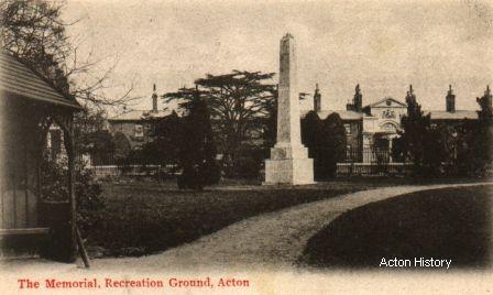
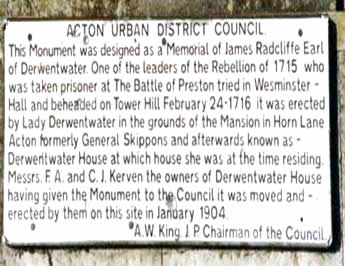
One of the features of the new park was the memorial removed from Derwentwater House, installed in 1904.
Acton’s Parks – Woodlands Park
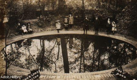
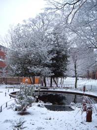
The original pond, and the new pond that was rebuilt in 2006. (DK)
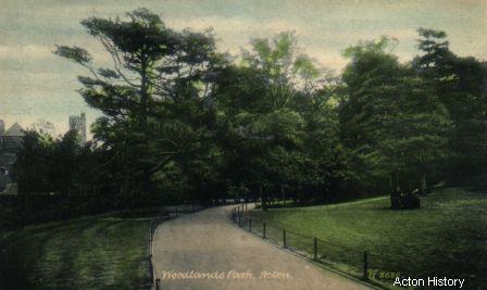
Edwardian view.
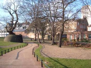
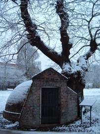
Views of the icehouse and the newly restored park taken in 2006 and 2007. (DK)
The former Woodlands House which fronted the High Street opposite the Steyne, together with about 6 acres of land was purchased by the local council in 1903 for the county school (most of the buildings of which still stand in the grounds of the college) and for the laying out of Woodlands Park. The grounds were restored in 2006, the icehouse excavated, and the former pond restored.
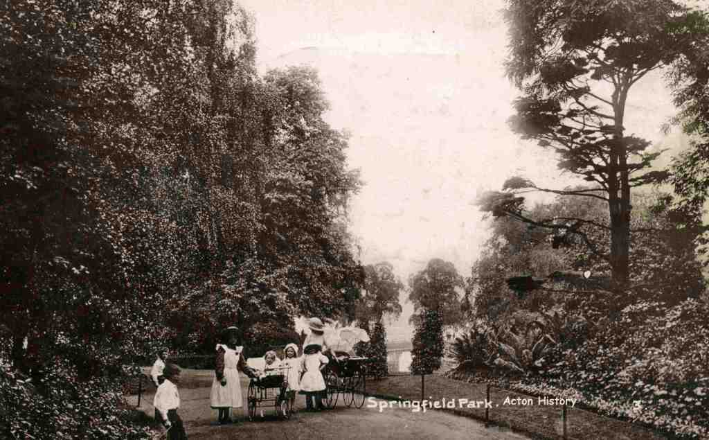
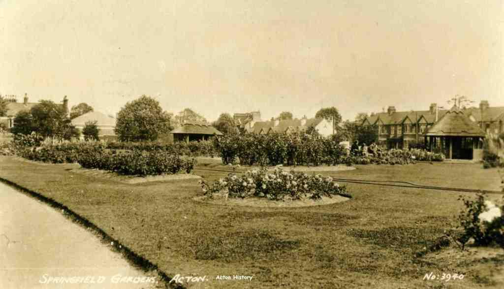
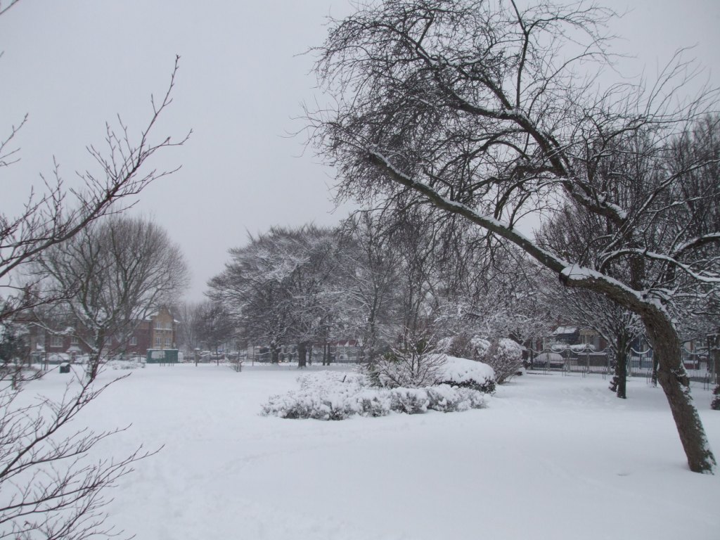
Acton’s Parks – Springfield
Acton Cottage Hospital
South Acton
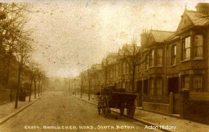
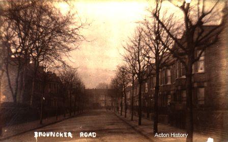
South Acton was an area of dense housing and many small businesses, the most predominant of which were laundries.
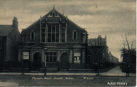
Parish Hall, South Acton.
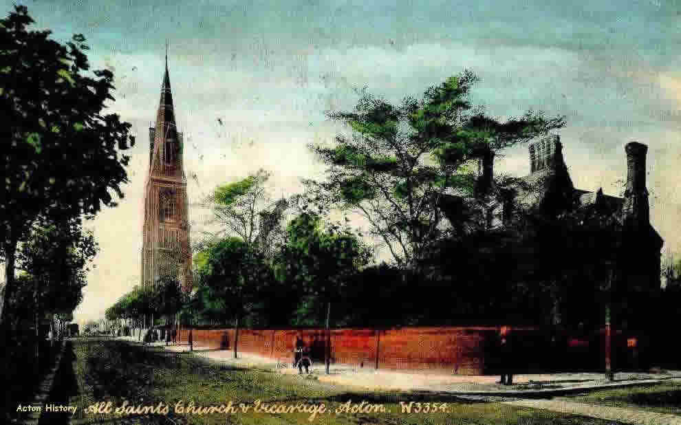
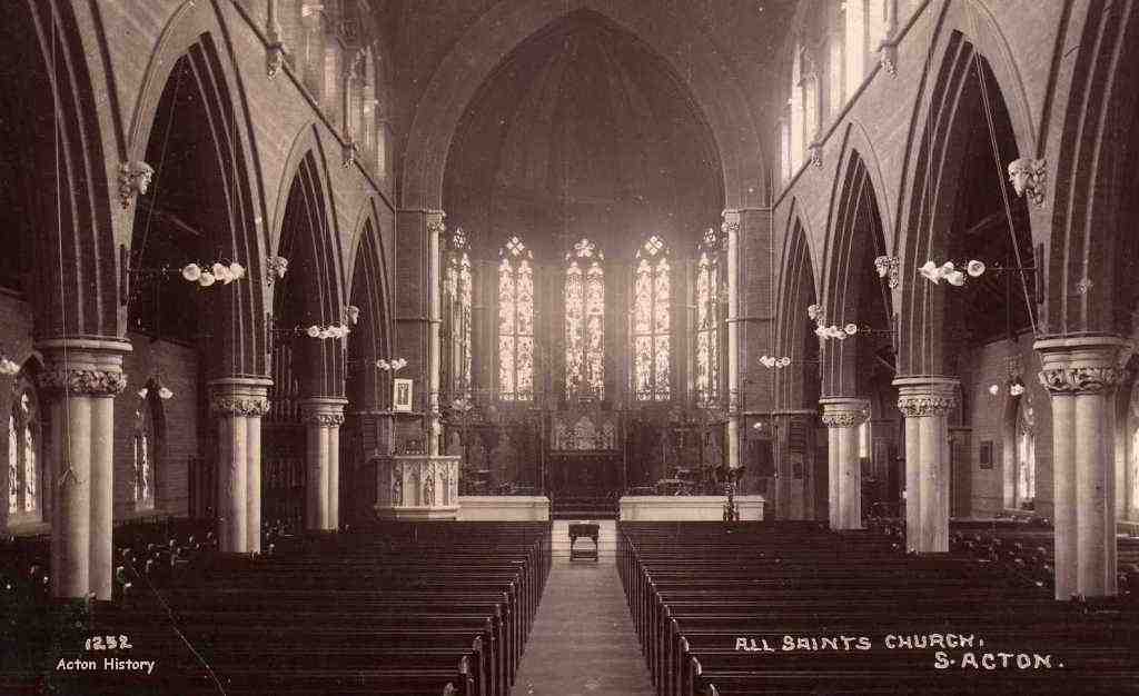
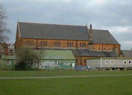
All Saints Church, South Acton.
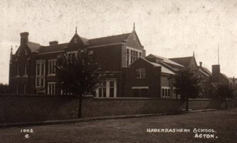
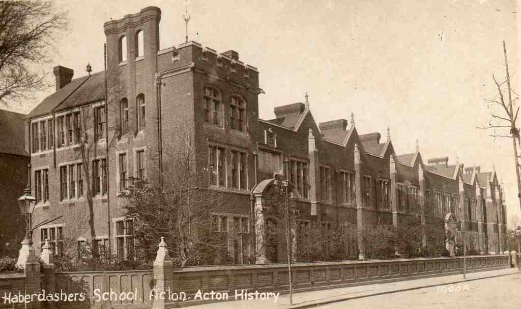
Haberdashers School
This picture shows the
Springfield Park
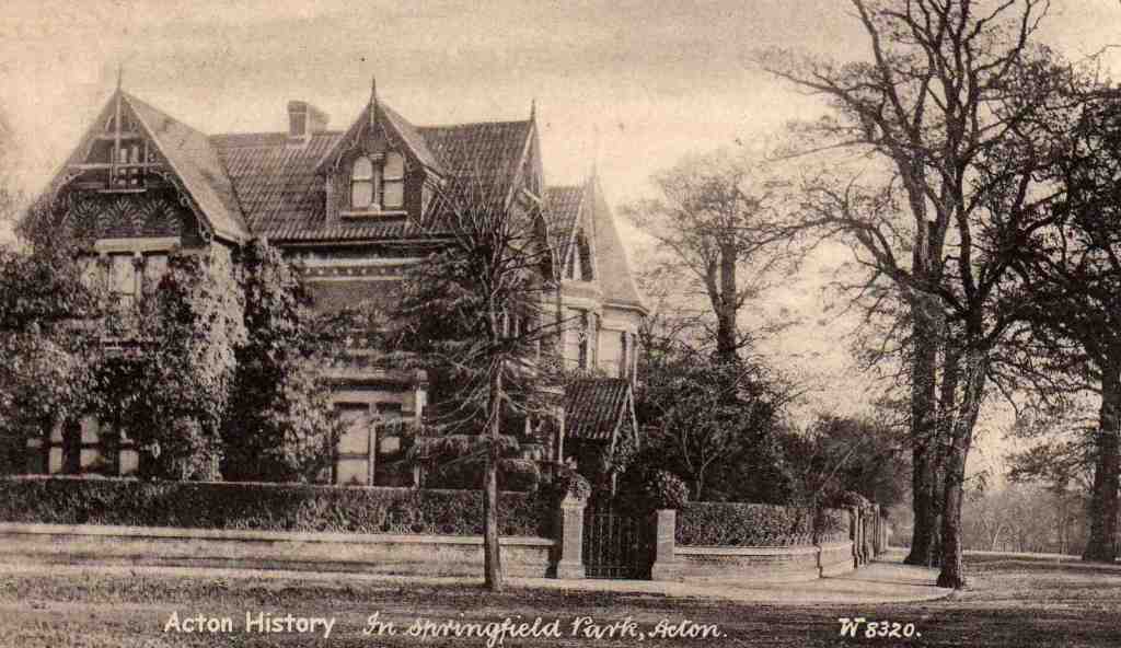
It is known as “Peacehaven” and was for many years, the home of the “International Friendship League”. It is on the corner of Creswick and Pierrepoint Roads.
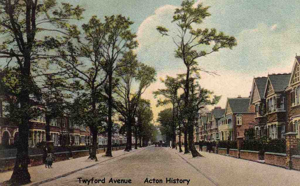
Twyford Avenue.
Berrymead Priory
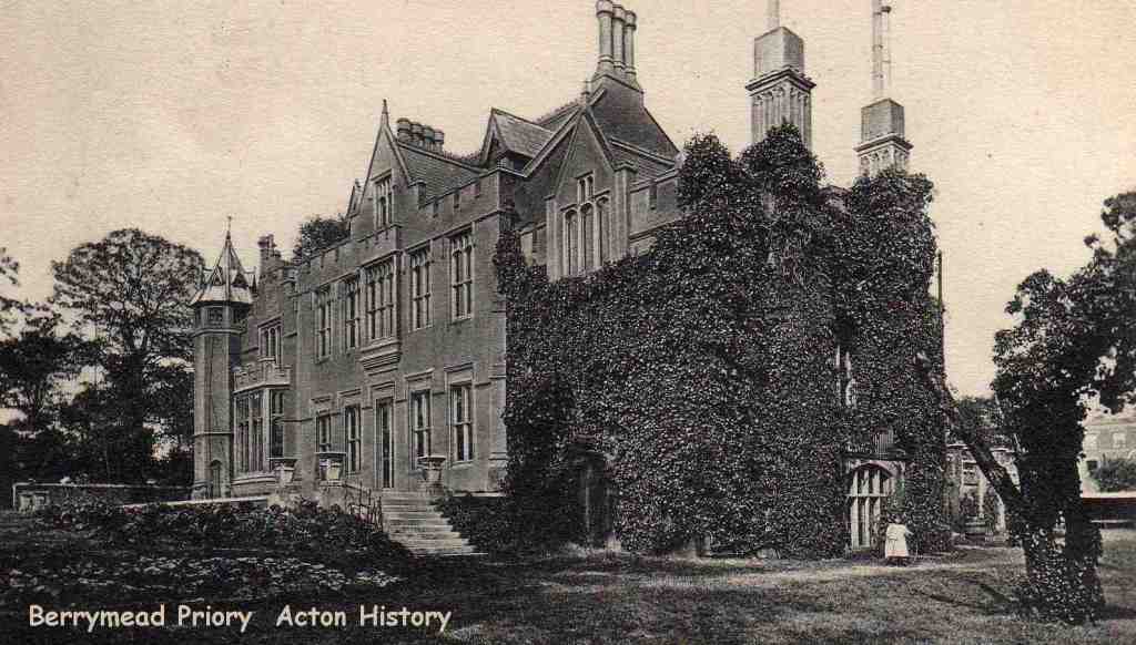
The priory was situated behind the town hall, on the site of the car park.
The Old Steyne
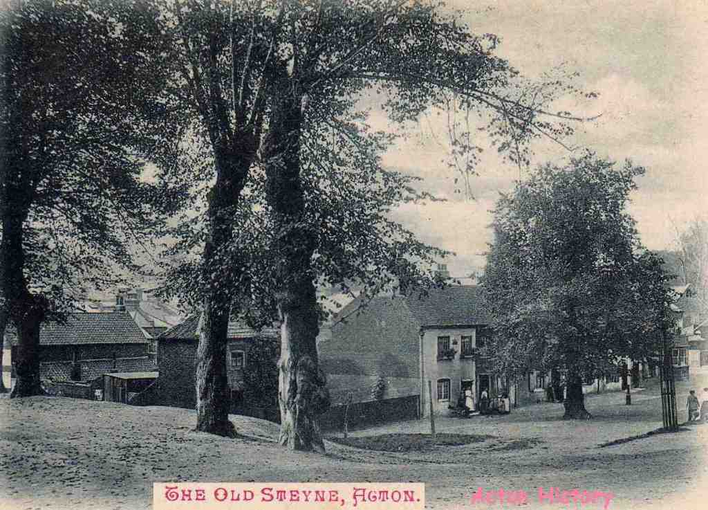
The Steyne was the stoney ground to the north of the church.
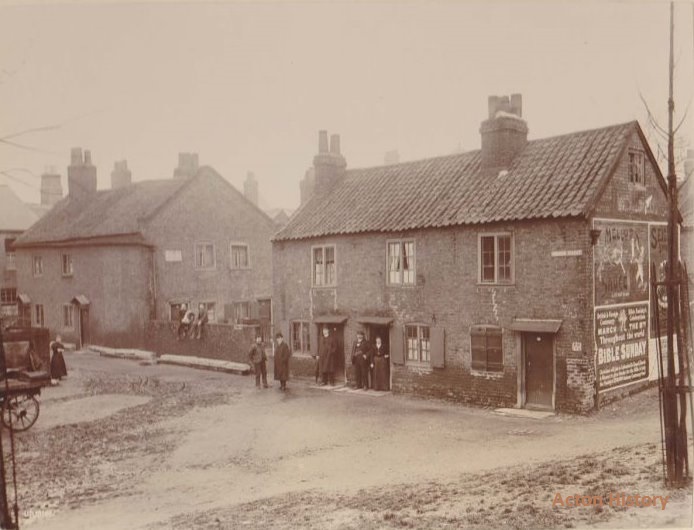
Narrow Street, The Steyne, looking from Rectory Road, March 1904.
The Pensions Building, Acton Vale
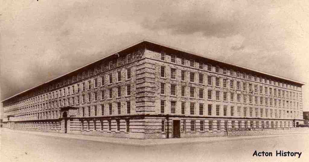
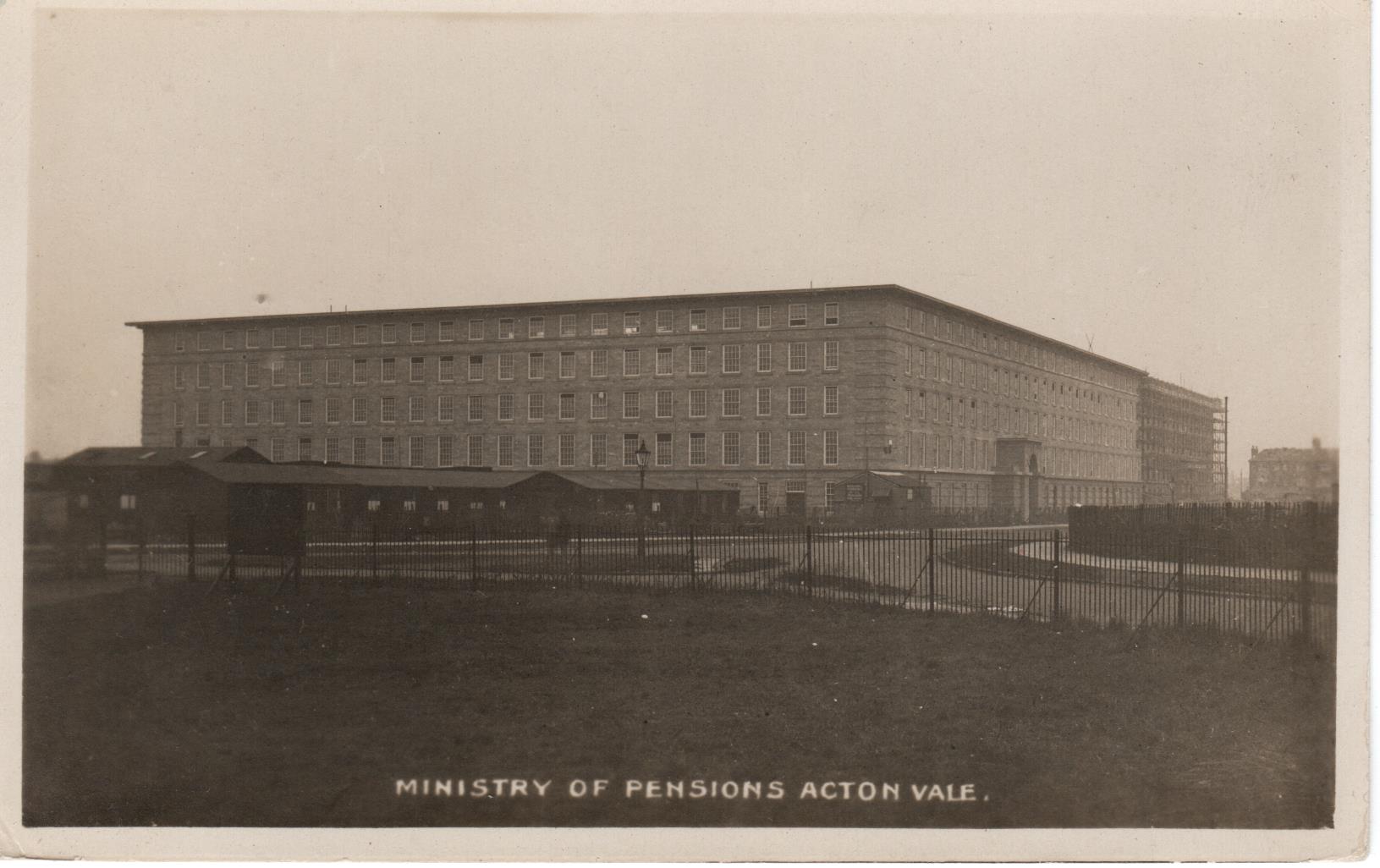
This enormous building is the headquarters of the Ministry of Pensions and was erected for the accomodation of the large staff necessary to caryout the work in connection with the administration of about 3,000,000 war pensions (from the First World War). The building has now been converted to living acccomodation.
|
|
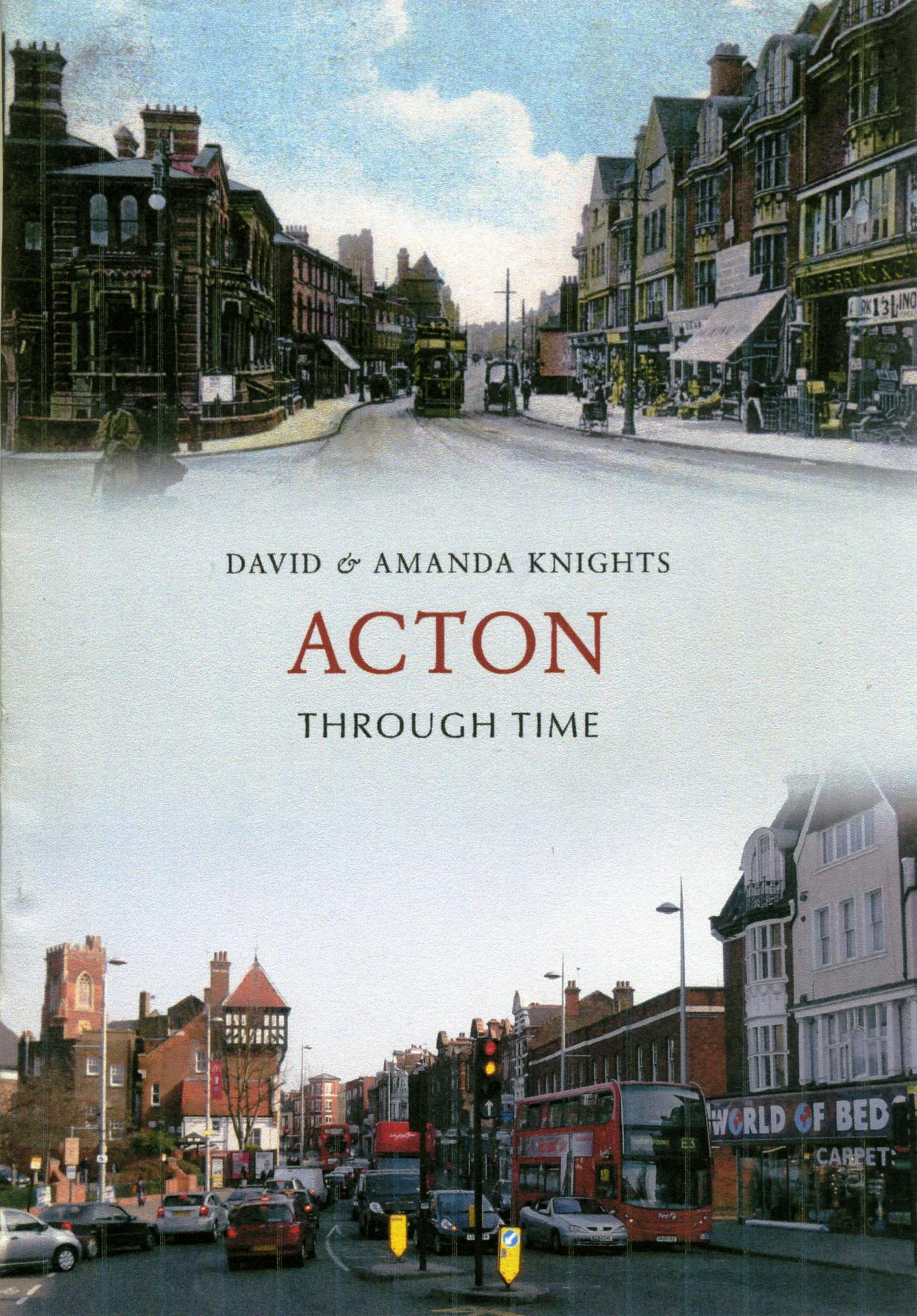
"ACTON THROUGH TIME" by David & Amanda KnightsISBN 978 1 4456 0867 9 This collection of fascinating images traces some of the changes and developments in Acton (Middlesex) over the past one hundred years.In the early 1800s Acton consisted of a small group of houses around the church plus a small farming community at East Acton and some farm dwellings. 100 years on and the population had grown and heavy industry and laundries flourished. Today they too have gone, replaced by light industry and the media business. The quiet lanes and byways which were used by horse-drawn carriages, coaches and trams are now busy thoroughfares full of cars, buses and lorries. It has a wide collection of images, including two rare early engravings from 1794 and 1809. These are combined with postcards and photographs from the late 19th, early 20th and 21st centuries. The images are grouped in chapters by area and include informative captions, tracing the growth of this London suburb. Now available from www.amberley-books.com, bookshops and online retailers. |
Most of the images on this page have been provided courtesy of Mr Paul Lang. It is believed that all the images of old postcards on this page are out of copyright.